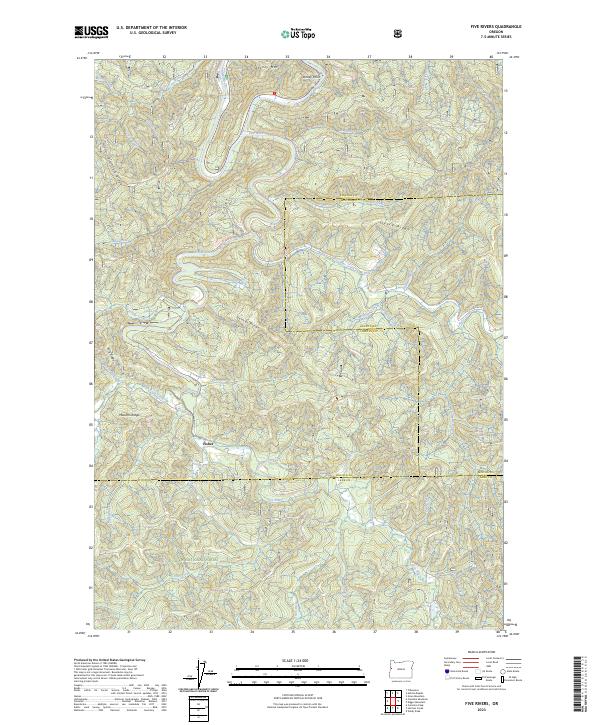
2023 Map of Five Rivers
USGS Topo · Published 2023About this map
Fisher sits as a quiet focal point in a landscape defined by the convergence of steep timberlands and a dense drainage network within the Siuslaw National Forest. The map detail follows the winding course of Five Rivers, which is joined by a labyrinth of tributaries including Lobster Creek, Crab Creek, and Cascade Creek. The topography is marked by distinctive family-named and descriptive landforms such as Pitchfork Ridge, Fleece Ridge, and Denzer Ridge, reflecting the early logging and homesteading history of the Oregon Coast Range. This 2023 survey illustrates how modern forest management boundaries, including those between Lincoln, Benton, and Lane counties, overlay the traditional drainage basins of the Green River and Meadow Fork. Of particular note for local interest is Cascade Falls, a natural landmark situated among the high ridges like Stoney Mtn and Malcolm Ridge that hem in the narrow river valleys.
Find a feature on this map
47 named features on this map. Tap any name to fly to it.
Don’t see what you’re looking for? This feature index may not catch every label — zoom into the map to look around manually.
Map Details
Editions of this 2023 Five Rivers Map
This is the sole edition of this map. No revisions or reprints were ever made.
Other maps of this area

1918 · Mapleton
USGS Topo · 1:48,000

1940 · Mapleton
USGS Topo · 1:62,500

1941 · Blachly
USGS Topo · 1:62,500

1942 · Alsea
USGS Topo · 1:62,500

1942 · Blachly
USGS Topo · 1:62,500

1942 · Tidewater
USGS Topo · 1:62,500

1945 · Mapleton
USGS Topo · 1:62,500

1953 · Salem
USGS Topo · 1:250,000

1954 · Salem
USGS Topo · 1:250,000

1956 · Alsea
USGS Topo · 1:62,500