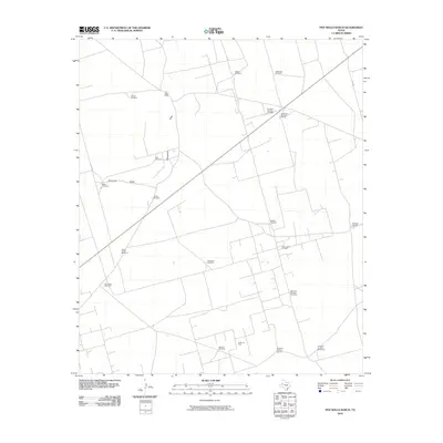
2010 Map of Five Wells Ranch
USGS Topo · Published 2010About this map
Five Wells Ranch serves as the focal point for this section of Andrews County, where the high plains landscape is defined by the ephemeral courses of Seminole Draw and Monument Draw. The map documents an area deeply integrated into the West Texas petroleum industry, evidenced by the extensive operations at the Hutex Oil Field and Hutex North Oil Field. Beyond the industrial footprint, the sheet is a remarkable record of rural water infrastructure, naming nearly twenty individual wind-powered pumps that sustain ranching in this arid environment. These features, often bearing local or family names like Bull Skeen Windmill, Goldsmith Windmill, and Hog Eye Windmill, provide specific geographic markers for genealogists and local historians tracing land use and property boundaries. A network of local roads such as Ne 9201 and Ne 9001 connects these remote points, illustrating the sparse but organized settlement pattern of the early twenty-first century.
Find a feature on this map
25 named features on this map. Tap any name to fly to it.
Don’t see what you’re looking for? This feature index may not catch every label — zoom into the map to look around manually.
Map Details
Editions of this 2010 Five Wells Ranch Map
This is the sole edition of this map. No revisions or reprints were ever made.
Other maps of this area

1954 · Hobbs
USGS Topo · 1:250,000

1958 · Hobbs
USGS Topo · 1:250,000

1966 · Scharbauer Ranch
USGS Topo · 1:24,000

1966 · Bird Ranch
USGS Topo · 1:24,000

1970 · Cedar Point Ranch
USGS Topo · 1:24,000

1970 · Patricia SW
USGS Topo · 1:24,000

1970 · McKenzie Lake SE
USGS Topo · 1:24,000

1971 · Five Wells Ranch NW
USGS Topo · 1:24,000

1971 · Five Wells Ranch SE
USGS Topo · 1:24,000

1971 · Five Wells Ranch
USGS Topo · 1:24,000