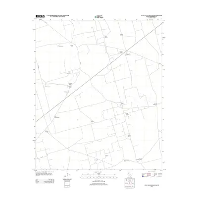
2012 Map of Five Wells Ranch
USGS Topo · Published 2012About this map
Five Wells Ranch serves as the focal point of this arid landscape in Andrews County, where human presence is defined by the vital search for water and oil. A network of named wells, including the Texaco Windmill and Bull Skeen Windmill, indicates a sprawling ranching infrastructure where individual landmarks are often identified by the families or companies that established them. The arid terrain is cut by the ephemeral courses of Seminole Draw and Monument Draw, which provide natural relief in an otherwise industrializing plain.
Find a feature on this map
27 named features on this map. Tap any name to fly to it.
Don’t see what you’re looking for? This feature index may not catch every label — zoom into the map to look around manually.
Map Details
Editions of this 2012 Five Wells Ranch Map
This is the sole edition of this map. No revisions or reprints were ever made.
Other maps of this area

1954 · Hobbs
USGS Topo · 1:250,000

1958 · Hobbs
USGS Topo · 1:250,000

1966 · Scharbauer Ranch
USGS Topo · 1:24,000

1966 · Bird Ranch
USGS Topo · 1:24,000

1970 · Cedar Point Ranch
USGS Topo · 1:24,000

1970 · Patricia SW
USGS Topo · 1:24,000

1970 · McKenzie Lake SE
USGS Topo · 1:24,000

1971 · Five Wells Ranch NW
USGS Topo · 1:24,000

1971 · Five Wells Ranch SE
USGS Topo · 1:24,000

1971 · Five Wells Ranch
USGS Topo · 1:24,000