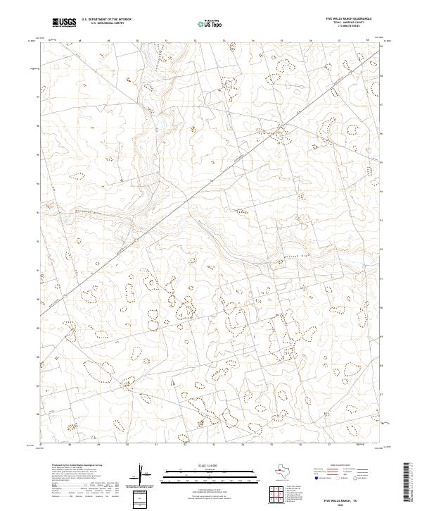
2022 Map of Five Wells Ranch
USGS Topo · Published 2022About this map
Seminole Draw and Monument Draw converge in this corner of Andrews County, marking a landscape defined by seasonal watercourses and ranching infrastructure. These ephemeral drainage systems, including Mustang Draw to the south, carve subtle paths through the terrain, dictating the placement of the sparse road network. The dominance of cattle ranching is evident in the straight-line paths of Ranch Rd 703 and secondary routes like Ne 8201 and Ne 9101. The United States Geological Survey mapping highlights how human habitation in this arid region remains closely tied to these natural geographic features, with the grid of ranch roads providing the primary means of navigating the expansive, open country.
Find a feature on this map
9 named features on this map. Tap any name to fly to it.
Don’t see what you’re looking for? This feature index may not catch every label — zoom into the map to look around manually.
Map Details
Editions of this 2022 Five Wells Ranch Map
This is the sole edition of this map. No revisions or reprints were ever made.
Other maps of this area

1954 · Hobbs
USGS Topo · 1:250,000

1958 · Hobbs
USGS Topo · 1:250,000

1966 · Scharbauer Ranch
USGS Topo · 1:24,000

1966 · Bird Ranch
USGS Topo · 1:24,000

1970 · Cedar Point Ranch
USGS Topo · 1:24,000

1970 · Patricia SW
USGS Topo · 1:24,000

1970 · McKenzie Lake SE
USGS Topo · 1:24,000

1971 · Five Wells Ranch NW
USGS Topo · 1:24,000

1971 · Five Wells Ranch SE
USGS Topo · 1:24,000

1971 · Five Wells Ranch
USGS Topo · 1:24,000