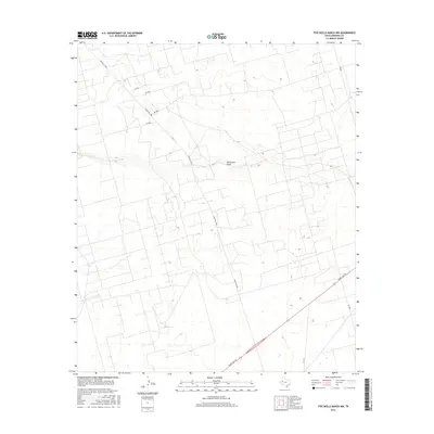
2016 Map of Five Wells Ranch NW
USGS Topo · Published 2016About this map
Monument Draw cuts through this portion of Andrews County, serving as the primary drainage feature in a landscape defined by ranching and resource extraction. The map reveals a systematic grid of local roads and paths, such as Ne 6010 and Ne 6018, which support the extensive ranching operations that characterize this region of the Permian Basin. This infrastructure is anchored by major transportation routes like Ranch Rd 1788, providing a clear look at how the West Texas plains have been partitioned for modern use.
Find a feature on this map
10 named features on this map. Tap any name to fly to it.
Don’t see what you’re looking for? This feature index may not catch every label — zoom into the map to look around manually.
Map Details
Editions of this 2016 Five Wells Ranch NW Map
This is the sole edition of this map. No revisions or reprints were ever made.
Other maps of this area

1954 · Hobbs
USGS Topo · 1:250,000

1958 · Hobbs
USGS Topo · 1:250,000

1963 · Andrews
USGS Topo · 1:24,000

1970 · Cedar Point Ranch
USGS Topo · 1:24,000

1970 · Seminole SE
USGS Topo · 1:24,000

1970 · McKenzie Lake SE
USGS Topo · 1:24,000

1971 · Five Wells Ranch NW
USGS Topo · 1:24,000

1971 · Florey
USGS Topo · 1:24,000

1971 · Five Wells Ranch SE
USGS Topo · 1:24,000

1971 · Five Wells Ranch
USGS Topo · 1:24,000