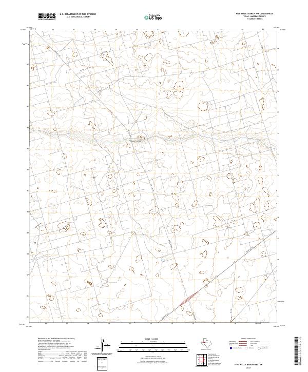
2022 Map of Five Wells Ranch NW
USGS Topo · Published 2022About this map
Monument Draw cuts an intermittent path across this segment of the West Texas landscape, serving as the primary drainage feature for the surrounding terrain. The area is defined by a sparse but organized network of rural infrastructure, where Ranch Rd 1788 and Ranch Rd 703 provide the main corridors through the ranchlands. These primary routes are supported by a geometric grid of local connectors including Ne 5500, Ne 6010, and Ne 6018, reflecting the industrial and agricultural subdivisions characteristic of Andrews County. The survey illustrates the contemporary layout of large-scale land holdings and the utilitarian road system developed to manage the expansive open country of the Permian Basin region.
Find a feature on this map
10 named features on this map. Tap any name to fly to it.
Don’t see what you’re looking for? This feature index may not catch every label — zoom into the map to look around manually.
Map Details
Editions of this 2022 Five Wells Ranch NW Map
This is the sole edition of this map. No revisions or reprints were ever made.
Other maps of this area

1954 · Hobbs
USGS Topo · 1:250,000

1958 · Hobbs
USGS Topo · 1:250,000

1963 · Andrews
USGS Topo · 1:24,000

1970 · Cedar Point Ranch
USGS Topo · 1:24,000

1970 · Seminole SE
USGS Topo · 1:24,000

1970 · McKenzie Lake SE
USGS Topo · 1:24,000

1971 · Five Wells Ranch NW
USGS Topo · 1:24,000

1971 · Florey
USGS Topo · 1:24,000

1971 · Five Wells Ranch SE
USGS Topo · 1:24,000

1971 · Five Wells Ranch
USGS Topo · 1:24,000