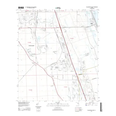
2015 Map of Flagler Beach West
USGS Topo · Published 2015About this map
Flagler Beach and the planned community of Palm Coast dominate this coastal landscape, showing the transition from the Atlantic Ocean shoreline through the Intracoastal Waterway and into the pine flatwoods. The map reveals a mix of older outposts and modern development, with Korona and Dupont standing along the western transport corridors. Aviation history and local transit are anchored by the Flagler County Airport, while the natural drainage of Bulow Creek and Smith Creek continues to define the eastern wetlands. Genealogists and local historians can locate established burial grounds such as Good Hope Cem and Saint Marys Cem, which provide ties to the area's earlier rural identity before the large-scale residential expansion of the late 20th century. This survey documents the intersection of suburban growth and the preserved environment near Gore Lake and Silver Lake.
Find a feature on this map
30 named features on this map. Tap any name to fly to it.
Don’t see what you’re looking for? This feature index may not catch every label — zoom into the map to look around manually.
Map Details
Editions of this 2015 Flagler Beach West Map
This is the sole edition of this map. No revisions or reprints were ever made.
Other maps of this area

1927 · Matanzas
USGS Topo · 1:48,000

1937 · Dinner Island
USGS Topo · 1:48,000

1937 · Ormond
USGS Topo · 1:48,000

1943 · Dinner Island
USGS Topo · 1:62,500

1943 · Matanzas
USGS Topo · 1:62,500

1944 · Ormond
USGS Topo · 1:62,500

1944 · Dinner Island
USGS Topo · 1:62,500

1944 · Matanzas
USGS Topo · 1:62,500

1954 · Daytona Beach
USGS Topo · 1:250,000

1956 · Favoretta
USGS Topo · 1:24,000