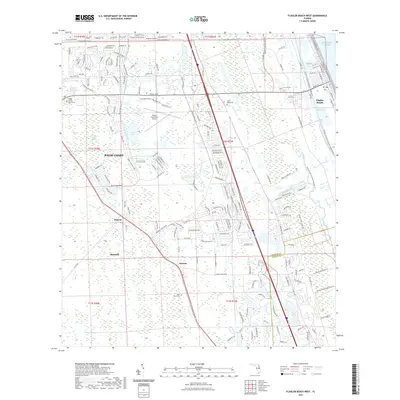
2021 Map of Flagler Beach West
USGS Topo · Published 2021About this map
Palm Coast and the surrounding Flagler County landscape are defined by a complex network of coastal wetlands and modern infrastructure. The Intracoastal Waterway cuts a straight path through the eastern corridor, separating the mainland from the narrow strip of Flagler Beach near the Atlantic Ocean. Inland, the terrain is dominated by significant preserves and lowlands, including the expansive Graham Swamp and Black Branch Swamp. The logistics and transportation history of the region is anchored by the Florida East Coast Railway, which runs parallel to U.S. Route 1, connecting the established community of Bunnell with smaller settlements like Dupont and Korona. Genealogical interests are served by the location of Good Hope Cemetery and Saint Marys Cemetery, while the Flagler Executive Airport and Flagler County Courthouse mark the area's role as a regional administrative and transit hub.
Find a feature on this map
188 named features on this map. Tap any name to fly to it.
Don’t see what you’re looking for? This feature index may not catch every label — zoom into the map to look around manually.
Map Details
Editions of this 2021 Flagler Beach West Map
This is the sole edition of this map. No revisions or reprints were ever made.
Other maps of this area

1927 · Matanzas
USGS Topo · 1:48,000

1937 · Dinner Island
USGS Topo · 1:48,000

1937 · Ormond
USGS Topo · 1:48,000

1943 · Dinner Island
USGS Topo · 1:62,500

1943 · Matanzas
USGS Topo · 1:62,500

1944 · Ormond
USGS Topo · 1:62,500

1944 · Dinner Island
USGS Topo · 1:62,500

1944 · Matanzas
USGS Topo · 1:62,500

1954 · Daytona Beach
USGS Topo · 1:250,000

1956 · Favoretta
USGS Topo · 1:24,000