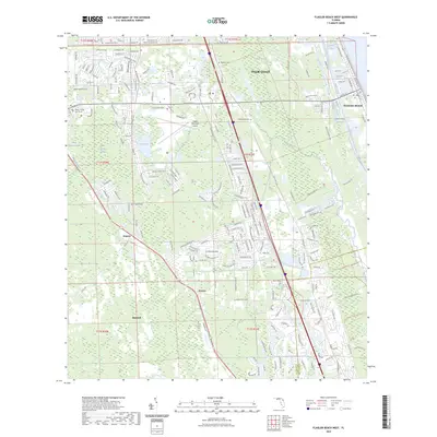
2023 Map of Flagler Beach West
USGS Topo · Published 2023About this map
Graham Swamp and the dense wetlands of Black Branch Swamp dominate this coastal Florida landscape, illustrating the intricate balance between modern development and the native environment. The map details the burgeoning growth of Palm Coast and Bunnell, documenting the residential expansion into former timber and wetlands. To the east, the Intracoastal Waterway and Smith Creek define the navigation corridor near Flagler Beach, while the Bulow Creek State Recreational Trl preserves a significant stretch of the natural hydrologic system.
Find a feature on this map
215 named features on this map. Tap any name to fly to it.
Don’t see what you’re looking for? This feature index may not catch every label — zoom into the map to look around manually.
Map Details
Editions of this 2023 Flagler Beach West Map
This is the sole edition of this map. No revisions or reprints were ever made.
Other maps of this area

1927 · Matanzas
USGS Topo · 1:48,000

1937 · Dinner Island
USGS Topo · 1:48,000

1937 · Ormond
USGS Topo · 1:48,000

1943 · Dinner Island
USGS Topo · 1:62,500

1943 · Matanzas
USGS Topo · 1:62,500

1944 · Ormond
USGS Topo · 1:62,500

1944 · Dinner Island
USGS Topo · 1:62,500

1944 · Matanzas
USGS Topo · 1:62,500

1954 · Daytona Beach
USGS Topo · 1:250,000

1956 · Favoretta
USGS Topo · 1:24,000