
1912 Map of Flagstaff
USGS Topo · Published 1912About this map
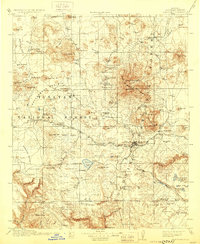
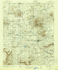
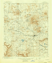
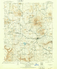
Flagstaff sits at the heart of this high-altitude landscape, a hub for the Atchison Topeka and Santa Fe RR and early regional development. The peaks of San Francisco Mountain, including Agassiz Pk and Kendrick Pk, dominate the topography, while scientific and social foundations are visible at the Lowell Observatory and the County Hospital. The map illustrates a transitional era of industry and settlement, showing a Logging RR moving timber to Greenlaw's Mill and numerous outlying homesteads like Boyce's Ranch and Darden's Ranch.
Find a feature on this map
138 named features on this map. Tap any name to fly to it.
Don’t see what you’re looking for? This feature index may not catch every label — zoom into the map to look around manually.
Map Details
Editions of this 1912 Flagstaff Map
5 editions found
Other maps of this area

1886 · San Francisco Mtns
USGS Topo · 1:250,000

1886 · Chino
USGS Topo · 1:250,000

1887 · Verde
USGS Topo · 1:250,000

1887 · Prescott
USGS Topo · 1:250,000

1891 · San Francisco Mtns
USGS Topo · 1:250,000

1891 · Chino
USGS Topo · 1:250,000

1892 · Verde
USGS Topo · 1:250,000

1892 · Prescott
USGS Topo · 1:250,000

1894 · San Francisco Mtns
USGS Topo · 1:250,000

1899 · San Francisco Mtns
USGS Topo · 1:250,000