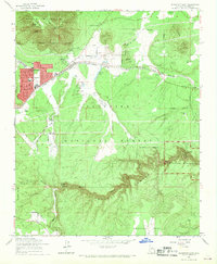
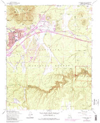
1962 Map of Flagstaff East
USGS Topo · Published 1970About this map
Elden Mountain looms over the landscape, providing a dramatic backdrop to the burgeoning development of Flagstaff and East Flagstaff during the early 1960s. The map captures the vital transportation corridor formed by the Atchison Topeka and Santa Fe railroad as it winds past Cliffs and the Cosnino Overpass. Significant local heritage is preserved within Walnut Canyon National Monument, where the deep incisions of Walnut Creek reveal ancient Cliff Dwellings.
Find a feature on this map
41 named features on this map. Tap any name to fly to it.
Don’t see what you’re looking for? This feature index may not catch every label — zoom into the map to look around manually.
Map Details
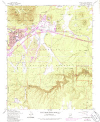
Editions of this 1962 Flagstaff East Map
6 editions found
Other maps of this area

1886 · San Francisco Mtns
USGS Topo · 1:250,000

1891 · San Francisco Mtns
USGS Topo · 1:250,000

1894 · San Francisco Mtns
USGS Topo · 1:250,000

1899 · San Francisco Mtns
USGS Topo · 1:250,000

1908 · Flagstaff
USGS Topo · 1:125,000

1912 · Flagstaff
USGS Topo · 1:125,000

1947 · Flagstaff
USGS Topo · 1:250,000

1954 · Flagstaff
USGS Topo · 1:250,000

1958 · Flagstaff
USGS Topo · 1:250,000

1960 · Flagstaff
USGS Topo · 1:250,000