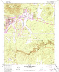
1962 Map of Flagstaff East
USGS Topo · Published 1986About this map
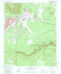
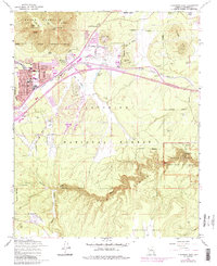
Elden Mountain and the steep contours of Walnut Canyon anchor this mid-century survey of the high desert terrain east of Flagstaff. The landscape reveals a complex mix of natural monuments and early industrial expansion, with the Atchison Topeka and Santa Fe railroad corridor serving as a primary artery for the region. Evidence of local volcanic geography is present in the numerous Cinder Pits and landmarks like Devils Head and Wildcat Hill, while urban growth is captured in the purple tinting of residential areas near East Flagstaff and Cliffs.
Find a feature on this map
47 named features on this map. Tap any name to fly to it.
Don’t see what you’re looking for? This feature index may not catch every label — zoom into the map to look around manually.
Map Details
Editions of this 1962 Flagstaff East Map
6 editions found
Other maps of this area

1886 · San Francisco Mtns
USGS Topo · 1:250,000

1891 · San Francisco Mtns
USGS Topo · 1:250,000

1894 · San Francisco Mtns
USGS Topo · 1:250,000

1899 · San Francisco Mtns
USGS Topo · 1:250,000

1908 · Flagstaff
USGS Topo · 1:125,000

1912 · Flagstaff
USGS Topo · 1:125,000

1947 · Flagstaff
USGS Topo · 1:250,000

1954 · Flagstaff
USGS Topo · 1:250,000

1958 · Flagstaff
USGS Topo · 1:250,000

1960 · Flagstaff
USGS Topo · 1:250,000