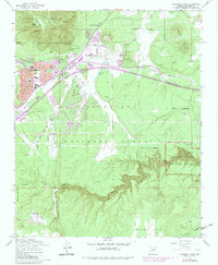
1962 Map of Flagstaff East
USGS Topo · Published 1983About this map
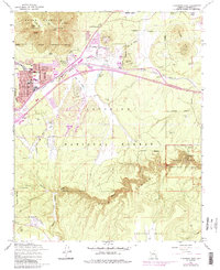
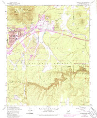
Walnut Canyon National Monument anchors the southeast corner of this study, preserving numerous cliff dwellings and the former Monument Headquarters within the deep limestone recesses of Walnut Canyon. The landscape transitions from the towering heights of Elden Mountain and the Turkey Hills down into the high-desert plateau where East Flagstaff expanded during the mid-20th century. The urban growth, highlighted by the Flagstaff Corporate Boundary, follows the critical transportation corridor formed by the Atchison Topeka and Santa Fe railroad and the alignment of Route 66.
Find a feature on this map
59 named features on this map. Tap any name to fly to it.
Don’t see what you’re looking for? This feature index may not catch every label — zoom into the map to look around manually.
Map Details
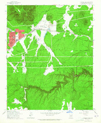
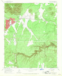
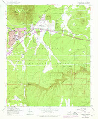
Editions of this 1962 Flagstaff East Map
6 editions found
Other maps of this area

1886 · San Francisco Mtns
USGS Topo · 1:250,000

1891 · San Francisco Mtns
USGS Topo · 1:250,000

1894 · San Francisco Mtns
USGS Topo · 1:250,000

1899 · San Francisco Mtns
USGS Topo · 1:250,000

1908 · Flagstaff
USGS Topo · 1:125,000

1912 · Flagstaff
USGS Topo · 1:125,000

1947 · Flagstaff
USGS Topo · 1:250,000

1954 · Flagstaff
USGS Topo · 1:250,000

1958 · Flagstaff
USGS Topo · 1:250,000

1960 · Flagstaff
USGS Topo · 1:250,000