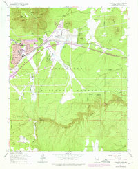
1962 Map of Flagstaff East
USGS Topo · Published 1976About this map
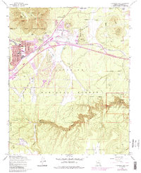
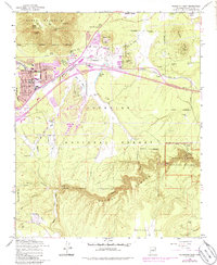
Elden Mountain and the high volcanic landscape of the Coconino National Forest dominate this mid-century survey of the eastern expansion of Flagstaff. The area serves as a significant cultural crossroads, containing ancient archaeological sites like Elden Pueblo and the Cliff Dwellings within Walnut Canyon National Monument, alongside the modern infrastructure of the Atchison Topeka and Santa Fe railroad. The settlement pattern shows transition as neighborhoods like East Flagstaff and Cliffs emerge near established landmarks such as the Peaceful Valley Memorial Park. Industrial and community life is visible through the numerous cinder pits dotting the hills, a local Drive-in Theater, and schools like Mt Elden Sch. Water management is critical in this high-altitude environment, evidenced by a network of tanks including Smith Tank and Monument Tank, which support the livestock and residents on Anderson Mesa.
Find a feature on this map
64 named features on this map. Tap any name to fly to it.
Don’t see what you’re looking for? This feature index may not catch every label — zoom into the map to look around manually.
Map Details
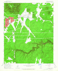
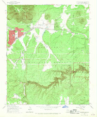
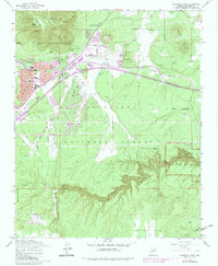
Editions of this 1962 Flagstaff East Map
6 editions found
Other maps of this area

1886 · San Francisco Mtns
USGS Topo · 1:250,000

1891 · San Francisco Mtns
USGS Topo · 1:250,000

1894 · San Francisco Mtns
USGS Topo · 1:250,000

1899 · San Francisco Mtns
USGS Topo · 1:250,000

1908 · Flagstaff
USGS Topo · 1:125,000

1912 · Flagstaff
USGS Topo · 1:125,000

1947 · Flagstaff
USGS Topo · 1:250,000

1954 · Flagstaff
USGS Topo · 1:250,000

1958 · Flagstaff
USGS Topo · 1:250,000

1960 · Flagstaff
USGS Topo · 1:250,000