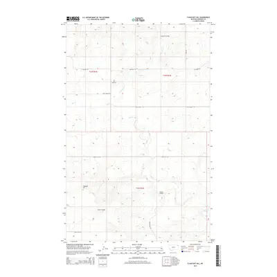
2014 Map of Flagstaff Hill
USGS Topo · Published 2014About this map
Rock Spring Cem sits as a solitary point of local heritage in this 2014 landscape within the Fort Kipp District. The terrain is defined by natural drainage and relief, including the prominent elevation of Flagstaff Hill and the passage through Crazy Horse Gap. Water follows the winding paths of Wolf Cr and Crazy Horse Cr, cutting through a topography marked by features like Green Coulee. The section lines and townships such as t33n r54e overlay a rural road network that facilitates movement through this part of Sheridan and Roosevelt counties. Named routes like Burma Trail Rd and Rock Springs Rd follow the contours of the land, connecting the disparate landmarks and providing a framework for the agricultural and natural spaces that characterize this northeastern Montana region.
Find a feature on this map
16 named features on this map. Tap any name to fly to it.
Don’t see what you’re looking for? This feature index may not catch every label — zoom into the map to look around manually.
Map Details
Editions of this 2014 Flagstaff Hill Map
This is the sole edition of this map. No revisions or reprints were ever made.
Other maps of this area

1909 · Smoke Creek
USGS Topo · 1:62,500

1912 · Smoke Creek
USGS Topo · 1:62,500

1914 · Homestead
USGS Topo · 1:62,500

1947 · Homestead
USGS Topo · 1:24,000

1948 · Homestead
USGS Topo · 1:24,000

1948 · Alkali Coulee
USGS Topo · 1:24,000

1949 · Alkali Coulee
USGS Topo · 1:24,000

1950 · Shippe Canyon
USGS Topo · 1:24,000

1954 · Wolf Point
USGS Topo · 1:250,000

1958 · Wolf Point
USGS Topo · 1:250,000