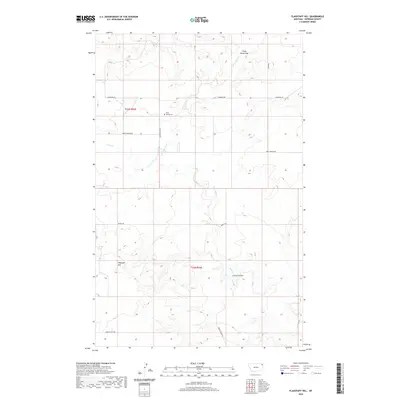
2020 Map of Flagstaff Hill
USGS Topo · Published 2020About this map
Rock Spring Cem sits as a quiet landmark within this expansive drainage system of Sheridan County, defined by the seasonal flow of Crazy Horse Cr and Wolf Cr. The topography is characterized by intricate drainages and significant relief, most notably at Flagstaff Hill and the northern passage of Crazy Horse Gap. This landscape is partitioned by a network of ranch and access roads that follow the contours of the land, including Burma Trl and Davis Valley Rd.
Find a feature on this map
14 named features on this map. Tap any name to fly to it.
Don’t see what you’re looking for? This feature index may not catch every label — zoom into the map to look around manually.
Map Details
Editions of this 2020 Flagstaff Hill Map
This is the sole edition of this map. No revisions or reprints were ever made.
Other maps of this area

1909 · Smoke Creek
USGS Topo · 1:62,500

1912 · Smoke Creek
USGS Topo · 1:62,500

1914 · Homestead
USGS Topo · 1:62,500

1947 · Homestead
USGS Topo · 1:24,000

1948 · Homestead
USGS Topo · 1:24,000

1948 · Alkali Coulee
USGS Topo · 1:24,000

1949 · Alkali Coulee
USGS Topo · 1:24,000

1950 · Shippe Canyon
USGS Topo · 1:24,000

1954 · Wolf Point
USGS Topo · 1:250,000

1958 · Wolf Point
USGS Topo · 1:250,000