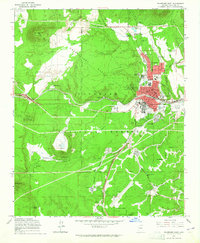
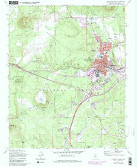
1962 Map of Flagstaff West
USGS Topo · Published 1965About this map
Observatory Mesa dominates the high-altitude landscape west of Flagstaff, where scientific and educational expansion define the early 1960s community. The campus of Arizona State College is shown in detail, alongside astronomical landmarks like the Lowell Observatory and the Naval Observatory Reservation. The town's grid is anchored by the Atchison Topeka and Santa Fe Railroad, while local life is evidenced by institutions such as Marshall Sch, South Beaver Sch, and Calvary Cemetery.
Find a feature on this map
67 named features on this map. Tap any name to fly to it.
Don’t see what you’re looking for? This feature index may not catch every label — zoom into the map to look around manually.
Map Details
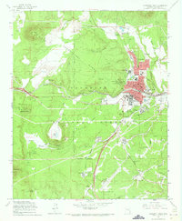
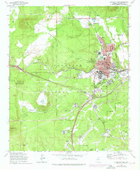
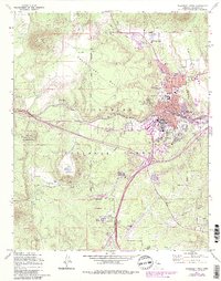
Editions of this 1962 Flagstaff West Map
5 editions found
Other maps of this area

1886 · San Francisco Mtns
USGS Topo · 1:250,000

1891 · San Francisco Mtns
USGS Topo · 1:250,000

1894 · San Francisco Mtns
USGS Topo · 1:250,000

1899 · San Francisco Mtns
USGS Topo · 1:250,000

1908 · Flagstaff
USGS Topo · 1:125,000

1912 · Flagstaff
USGS Topo · 1:125,000

1947 · Flagstaff
USGS Topo · 1:250,000

1954 · Flagstaff
USGS Topo · 1:250,000

1958 · Flagstaff
USGS Topo · 1:250,000

1960 · Flagstaff
USGS Topo · 1:250,000