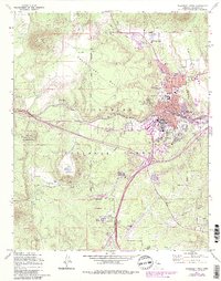
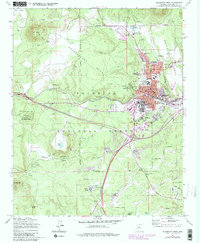
1962 Map of Flagstaff West
USGS Topo · Published 1983About this map
Observatory Mesa and the scientific installations of Flagstaff anchor this topographic survey, which highlights the city's role as a center for astronomy and education. The prominent Lowell Observatory sits atop Mars Hill, while the Naval Observatory Reservation and the Northern Arizona University campus mark the southern and central urban core. The Atchison Topeka and Santa Fe railroad bisects the landscape, following the natural contours near Sinclair Wash and providing a historical link to the region's industrial growth.
Find a feature on this map
77 named features on this map. Tap any name to fly to it.
Don’t see what you’re looking for? This feature index may not catch every label — zoom into the map to look around manually.
Map Details
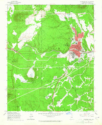
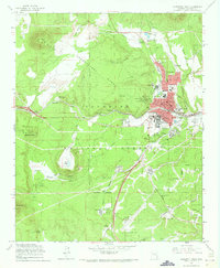
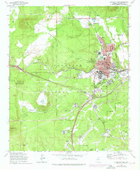
Editions of this 1962 Flagstaff West Map
5 editions found
Other maps of this area

1886 · San Francisco Mtns
USGS Topo · 1:250,000

1891 · San Francisco Mtns
USGS Topo · 1:250,000

1894 · San Francisco Mtns
USGS Topo · 1:250,000

1899 · San Francisco Mtns
USGS Topo · 1:250,000

1908 · Flagstaff
USGS Topo · 1:125,000

1912 · Flagstaff
USGS Topo · 1:125,000

1947 · Flagstaff
USGS Topo · 1:250,000

1954 · Flagstaff
USGS Topo · 1:250,000

1958 · Flagstaff
USGS Topo · 1:250,000

1960 · Flagstaff
USGS Topo · 1:250,000