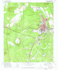
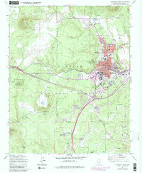
1962 Map of Flagstaff West
USGS Topo · Published 1976About this map
Lowell Observatory and the Naval Observatory Reservation dominate the western highlands of this mid-century survey, overlooking the growing city of Flagstaff. The landscape transitions from the volcanic peaks of A 1 Mtn and Elden Mtn down through Observatory Mesa to the urban core. Significant educational and cultural institutions are central to the community's identity, including Arizona State College and the Museum of Northern Arizona.
Find a feature on this map
90 named features on this map. Tap any name to fly to it.
Don’t see what you’re looking for? This feature index may not catch every label — zoom into the map to look around manually.
Map Details
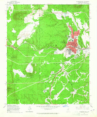
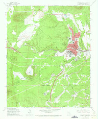
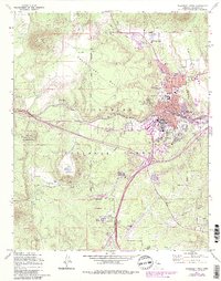
Editions of this 1962 Flagstaff West Map
5 editions found
Other maps of this area

1886 · San Francisco Mtns
USGS Topo · 1:250,000

1891 · San Francisco Mtns
USGS Topo · 1:250,000

1894 · San Francisco Mtns
USGS Topo · 1:250,000

1899 · San Francisco Mtns
USGS Topo · 1:250,000

1908 · Flagstaff
USGS Topo · 1:125,000

1912 · Flagstaff
USGS Topo · 1:125,000

1947 · Flagstaff
USGS Topo · 1:250,000

1954 · Flagstaff
USGS Topo · 1:250,000

1958 · Flagstaff
USGS Topo · 1:250,000

1960 · Flagstaff
USGS Topo · 1:250,000