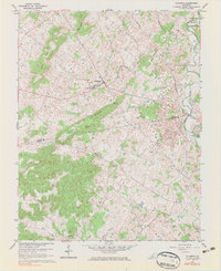
1960 Map of Flaherty
USGS Topo · Published 1983About this map
Flaherty serves as the primary hub of this 1960 survey, situated at a vital crossroads along the Grahamton-Vine Grove Road. The landscape is defined by the prominent Sand Ridge and elevations like Bee Knob Hill and Tullove Hill, which separate the agricultural lowlands from the protected wooded areas. Near the settlement, the St Martin Sch and Flaherty Sch illustrate the importance of local education and faith in this rural Kentucky community.
Find a feature on this map
29 named features on this map. Tap any name to fly to it.
Don’t see what you’re looking for? This feature index may not catch every label — zoom into the map to look around manually.
Map Details
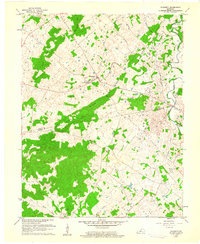
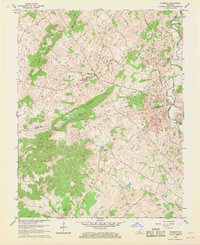
Editions of this 1960 Flaherty Map
3 editions found
Other maps of this area

1932 · Big Clifty
USGS Topo · 1:62,500

1935 · Elizabethtown
USGS Topo · 1:48,000

1936 · Vine Grove
USGS Topo · 1:62,500

1938 · Elizabethtown
USGS Topo · 1:62,500

1941 · Ekron
USGS Topo · 1:62,500

1943 · Vine Grove
USGS Topo · 1:62,500

1946 · Rock Haven
USGS Topo · 1:24,000

1946 · Fort Knox
USGS Topo · 1:24,000

1946 · Vine Grove
USGS Topo · 1:24,000

1946 · Vine Grove
USGS Topo · 1:62,500