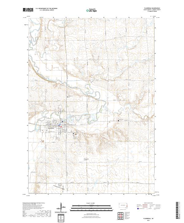
2021 Map of Flandreau
USGS Topo · Published 2021About this map
The Big Sioux River meanders through this portion of the Coteau des Prairies in eastern South Dakota, anchoring the city of Flandreau. As the county seat, the town is centered on the Moody County Courthouse and a grid of streets including W Pipestone Ave and E Broad Ave. The map reveals a high concentration of burial sites surrounding the settlement, including Union Cem, the First Presbyterian Cem, Old Catholic Cem, and the Saint Simon and Jude Catholic Cem. These sites, along with the outlying Clay Hill Cem, offer significant primary-source locations for genealogists and local historians studying the region's early families. Modern recreation is represented by the Jay Heath Canoe & Kayak Trl, which follows the river's path past several small tributaries like Spring Cr and Flandreau Cr.
Find a feature on this map
50 named features on this map. Tap any name to fly to it.
Don’t see what you’re looking for? This feature index may not catch every label — zoom into the map to look around manually.
Map Details
Editions of this 2021 Flandreau Map
This is the sole edition of this map. No revisions or reprints were ever made.
Other maps of this area

1953 · Watertown
USGS Topo · 1:250,000

1955 · Sioux Falls
USGS Topo · 1:250,000

1958 · Sioux Falls
USGS Topo · 1:250,000

1958 · Watertown
USGS Topo · 1:250,000

1963 · Trent
USGS Topo · 1:24,000

1964 · Flandreau SW
USGS Topo · 1:24,000

1964 · Flandreau NW
USGS Topo · 1:24,000

1967 · Elkton SW
USGS Topo · 1:24,000

1967 · Jasper NW
USGS Topo · 1:24,000

1967 · Elkton
USGS Topo · 1:24,000
Featured Places
- Flandreau, SD
- Flandreau Township, SD
- Grovena Township, SD
- Lone Rock Township, SD
- Spring Creek Township, SD