
1964 Map of Flandreau NW
USGS Topo · Published 1965About this map
Big Sioux River meanders across this rural landscape at the boundary of Brookings and Moody counties during the mid-1960s. The region is defined by its agrarian character, shown through a network of section roads and small localized landmarks that served the surrounding farmsteads. Education and community life are anchored by several schoolhouses, including Wellman Sch, Riverview Sch, and Coleman Sch, which are dispersed across the townships of Trenton, Parnell, and Riverview.
Find a feature on this map
14 named features on this map. Tap any name to fly to it.
Don’t see what you’re looking for? This feature index may not catch every label — zoom into the map to look around manually.
Map Details
Editions of this 1964 Flandreau NW Map
This is the sole edition of this map. No revisions or reprints were ever made.
Other maps of this area

1953 · Watertown
USGS Topo · 1:250,000

1958 · Watertown
USGS Topo · 1:250,000

1964 · Brookings
USGS Topo · 1:24,000

1964 · Medary
USGS Topo · 1:24,000

1964 · Rutland SE
USGS Topo · 1:24,000

1964 · Flandreau SW
USGS Topo · 1:24,000

1964 · Aurora
USGS Topo · 1:24,000

1972 · Flandreau NE
USGS Topo · 1:24,000
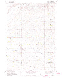
1972 · White SE
USGS Topo · 1:24,000
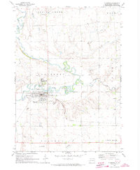
1972 · Flandreau
USGS Topo · 1:24,000
Featured Places
- Parnell Township, SD
- Riverview Township, SD
- Trenton Township, SD
- Spring Creek Township, SD
- Brookings County, SD