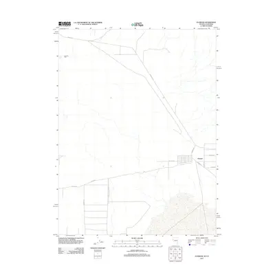
2011 Map of Flanigan
USGS Topo · Published 2011About this map
Flanigan sits at a remote crossroads in Washoe County, where the high desert terrain meets a sparse network of ranching and access roads. This 2011 survey details the modest grid of the settlement, showing the intersection of Flanigan Rd, Flanigan Ln, and Fremont Way near the California-Nevada border. To the northwest, High Rock Ranch represents the isolated agricultural activity characteristic of this arid region, connected to the wider world by the gravel track of High Rock Rd. The map illustrates a landscape defined by drainage patterns and straight-line property boundaries, including Calveda Way and Co Rd-8283. The convergence of Wendel Rd and Rainbow Rd further emphasizes the area's role as a transit point through the desert flats, providing a precise record of rural Nevada's infrastructure at the start of the 2010s.
Find a feature on this map
11 named features on this map. Tap any name to fly to it.
Don’t see what you’re looking for? This feature index may not catch every label — zoom into the map to look around manually.
Map Details
Editions of this 2011 Flanigan Map
This is the sole edition of this map. No revisions or reprints were ever made.
Other maps of this area

1886 · Honey Lake
USGS Topo · 1:250,000

1886 · Granite Range
USGS Topo · 1:250,000

1891 · Honey Lake
USGS Topo · 1:250,000

1893 · Honey Lake
USGS Topo · 1:250,000

1894 · Granite Range
USGS Topo · 1:250,000

1954 · Wendel
USGS Topo · 1:62,500

1954 · Doyle
USGS Topo · 1:62,500

1955 · Westwood
USGS Topo · 1:250,000

1955 · Lovelock
USGS Topo · 1:250,000

1958 · Westwood
USGS Topo · 1:250,000