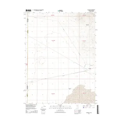
2014 Map of Flanigan
USGS Topo · Published 2014About this map
Flanigan sits at a critical junction in the high desert, where the foothills of the Smoke Creek Mountains meet the northern edge of the Honey Lake Valley. This landscape is defined by the intersection of state and county lines, marking the precise boundary between Lassen and Washoe Counties and the border between California and Nevada. The settlement's layout is centered around local transport routes like Flanigan Rd and High Rock Rd, which branch out across the arid basin. To the south, Calveda Way and Cr 8283 trace the valley floor, illustrating the sparse but deliberate infrastructure required for this remote borderlands community. The map provides a detailed view of the terrain's transition from the flat expanses of the valley to the rising elevation of the eastern mountains.
Find a feature on this map
9 named features on this map. Tap any name to fly to it.
Don’t see what you’re looking for? This feature index may not catch every label — zoom into the map to look around manually.
Map Details
Editions of this 2014 Flanigan Map
This is the sole edition of this map. No revisions or reprints were ever made.
Other maps of this area

1886 · Honey Lake
USGS Topo · 1:250,000

1886 · Granite Range
USGS Topo · 1:250,000

1891 · Honey Lake
USGS Topo · 1:250,000

1893 · Honey Lake
USGS Topo · 1:250,000

1894 · Granite Range
USGS Topo · 1:250,000

1954 · Wendel
USGS Topo · 1:62,500

1954 · Doyle
USGS Topo · 1:62,500

1955 · Westwood
USGS Topo · 1:250,000

1955 · Lovelock
USGS Topo · 1:250,000

1958 · Westwood
USGS Topo · 1:250,000