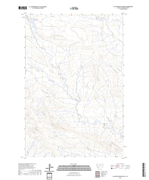
2024 Map of Flat Bottom Coulee SE
USGS Topo · Published 2024About this map
Stellar Creek and Rattlesnake Creek meander through this Rosebud County landscape, illustrating a classic High Plains drainage pattern defined by intermittent waterways and subtle topographic shifts. The area is characterized by the prominent Flat Bottom Coulee, a name that underscores the specific landforms found in this part of Montana where broad, level-floored valleys are carved into the plains.
Find a feature on this map
8 named features on this map. Tap any name to fly to it.
Don’t see what you’re looking for? This feature index may not catch every label — zoom into the map to look around manually.
Map Details
Editions of this 2024 Flat Bottom Coulee SE Map
This is the sole edition of this map. No revisions or reprints were ever made.
Other maps of this area

1954 · Forsyth
USGS Topo · 1:250,000

1957 · Forsyth
USGS Topo · 1:250,000

1958 · Forsyth
USGS Topo · 1:250,000

1968 · Donleys Reservoir
USGS Topo · 1:24,000

1968 · Finch NE
USGS Topo · 1:24,000

1968 · Black Coulee
USGS Topo · 1:24,000

1969 · Rudie Coulee
USGS Topo · 1:24,000

1969 · Flat Bottom Coulee SW
USGS Topo · 1:24,000

1969 · Flat Bottom Coulee NE
USGS Topo · 1:24,000
1969 · Rough Creek SW
USGS Topo · 1:24,000