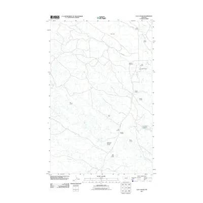
2011 Map of Flat Coulee
USGS Topo · Published 2011About this map
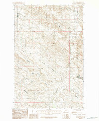
Larb Creek defines the drainage patterns of this Valley County landscape, cutting through an area characterized by its numerous coulees and landform markers. The northern portion of the quadrangle includes Pippen Dam, while Fisher Dam is situated further south, reflecting the essential water management required in this environment. A network of rural routes, including Gerbacher Rd and Larb Creek Rd, provides access to the isolated terrain.
Find a feature on this map
19 named features on this map. Tap any name to fly to it.
Don’t see what you’re looking for? This feature index may not catch every label — zoom into the map to look around manually.
Map Details
Editions of this 2011 Flat Coulee Map
This is the sole edition of this map. No revisions or reprints were ever made.
Other maps of this area

1954 · Glasgow
USGS Topo · 1:250,000

1957 · Glasgow
USGS Topo · 1:250,000

1958 · Glasgow
USGS Topo · 1:250,000
1984 · Burnett Flats West
USGS Topo · 1:24,000

1984 · Harb
USGS Topo · 1:24,000
1984 · Harb SW
USGS Topo · 1:24,000

1984 · Ashford Coulee
USGS Topo · 1:24,000
1984 · Craig Reservoir
USGS Topo · 1:24,000
1984 · Flat Coulee
USGS Topo · 1:24,000
1984 · Christmas Reservoir
USGS Topo · 1:24,000