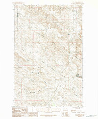
1984 Map of Flat Coulee
USGS Topo · Published 1984About this map
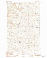
Larb Creek flows through this expansive stretch of northern Montana, defining a landscape of deep drainage systems along the boundary of Phillips and Valley counties. Surveyed in the late 1970s, this area is characterized by its complex network of coulees, including Coon Coulee, Lost Coulee, and the prominent Flat Coulee that names the quadrangle. The terrain is marked by distinctive elevations such as Dead Mans Hill, which overlooks a series of branching waterways like Blanche Coulee and Whites Coulee. Human presence is spare, primarily traced through the winding path of Larb Road. The map provides a detailed view of the regional hydrology, showing how the South Fork Box Elder Coulee and Box Elder Coulee navigate the breaks of this high plains environment.
Find a feature on this map
13 named features on this map. Tap any name to fly to it.
Don’t see what you’re looking for? This feature index may not catch every label — zoom into the map to look around manually.
Map Details
Editions of this 1984 Flat Coulee Map
This is the sole edition of this map. No revisions or reprints were ever made.
Other maps of this area

1954 · Glasgow
USGS Topo · 1:250,000

1957 · Glasgow
USGS Topo · 1:250,000

1958 · Glasgow
USGS Topo · 1:250,000
1984 · Burnett Flats West
USGS Topo · 1:24,000

1984 · Harb
USGS Topo · 1:24,000
1984 · Harb SW
USGS Topo · 1:24,000

1984 · Ashford Coulee
USGS Topo · 1:24,000
1984 · Craig Reservoir
USGS Topo · 1:24,000
1984 · Christmas Reservoir
USGS Topo · 1:24,000
1984 · Regal Coulee
USGS Topo · 1:24,000