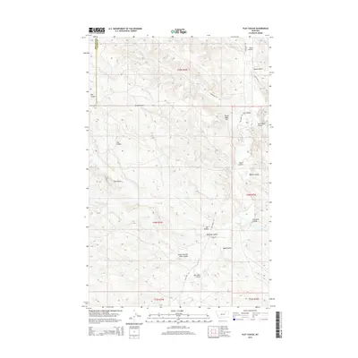
2014 Map of Flat Coulee
USGS Topo · Published 2014About this map
Larb Cr carves a winding path through the borderlands of Phillips and Valley counties, anchoring a landscape defined by an intricate network of drainage channels. This Montana terrain is heavily marked by named features such as Coon Coulee and Home Coulee in the north, leading down toward the prominent Dead Mans Hill. The map reveals a sparsely populated ranching or grazing environment where infrastructure is limited to primitive routes like Larb Creek Rd and Gerbacher Rd.
Find a feature on this map
25 named features on this map. Tap any name to fly to it.
Don’t see what you’re looking for? This feature index may not catch every label — zoom into the map to look around manually.
Map Details
Editions of this 2014 Flat Coulee Map
This is the sole edition of this map. No revisions or reprints were ever made.
Other maps of this area

1954 · Glasgow
USGS Topo · 1:250,000

1957 · Glasgow
USGS Topo · 1:250,000

1958 · Glasgow
USGS Topo · 1:250,000
1984 · Burnett Flats West
USGS Topo · 1:24,000

1984 · Harb
USGS Topo · 1:24,000
1984 · Harb SW
USGS Topo · 1:24,000

1984 · Ashford Coulee
USGS Topo · 1:24,000
1984 · Craig Reservoir
USGS Topo · 1:24,000
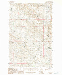
1984 · Flat Coulee
USGS Topo · 1:24,000
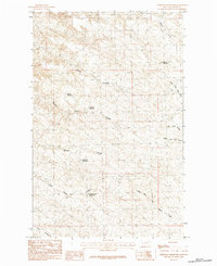
1984 · Christmas Reservoir
USGS Topo · 1:24,000