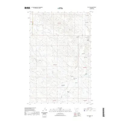
2020 Map of Flat Coulee
USGS Topo · Published 2020About this map
Dead Mans Hill rises above a landscape defined by an intricate network of drainages and seasonal watercourses along the boundary of Phillips and Valley Counties. The area is dominated by the winding path of Larb Cr, which serves as the primary artery for numerous named coulees, including Coon Coulee and Home Coulee to the north, and Whites Coulee and Coal Bank Coulee further south. The land use pattern is reflected in a sparse but critical network of rural routes such as Larb Creek Rd and S Bench Rd, which provide access through the complex terrain of the South Fork Box Elder Coulee and Box Elder Coulee. This map provides a clear view of the topographical nuances and named landmarks essential for understanding the hydrology and navigation of this specific stretch of the Montana plains.
Find a feature on this map
25 named features on this map. Tap any name to fly to it.
Don’t see what you’re looking for? This feature index may not catch every label — zoom into the map to look around manually.
Map Details
Editions of this 2020 Flat Coulee Map
This is the sole edition of this map. No revisions or reprints were ever made.
Other maps of this area

1954 · Glasgow
USGS Topo · 1:250,000

1957 · Glasgow
USGS Topo · 1:250,000

1958 · Glasgow
USGS Topo · 1:250,000
1984 · Burnett Flats West
USGS Topo · 1:24,000

1984 · Harb
USGS Topo · 1:24,000
1984 · Harb SW
USGS Topo · 1:24,000

1984 · Ashford Coulee
USGS Topo · 1:24,000
1984 · Craig Reservoir
USGS Topo · 1:24,000
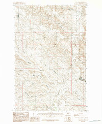
1984 · Flat Coulee
USGS Topo · 1:24,000
1984 · Christmas Reservoir
USGS Topo · 1:24,000