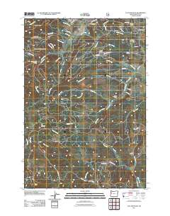
2011 Map of Flat Mountain
USGS Topo · Published 2011About this map
Flat Mountain and Buck Peak define the high ground in this 2011 topographic survey of Benton County, where the coastal range foothills transition into a complex drainage network. The landscape is marked by numerous timber and resource-related sites, including the Beaver Creek Seed Orchard and the Schreiber Lodge Boy Scout Camp located near the intersection of Wells Creek Rd and Cedar Creek Rd. This modern map records the persistent rural character of the region, where legacy landholdings are evidenced by named landmarks like Decker Ridge and deep topographical features such as Hells Canyon.
Find a feature on this map
63 named features on this map. Tap any name to fly to it.
Don’t see what you’re looking for? This feature index may not catch every label — zoom into the map to look around manually.
Map Details
Editions of this 2011 Flat Mountain Map
This is the sole edition of this map. No revisions or reprints were ever made.
Other maps of this area

1911 · Monroe
USGS Topo · 1:31,680

1911 · Inavale
USGS Topo · 1:31,680

1913 · Philomath
USGS Topo · 1:31,680

1921 · Corvallis
USGS Topo · 1:62,500

1922 · Monroe
USGS Topo · 1:62,500

1939 · Marys Peak
USGS Topo · 1:62,500

1939 · Monroe
USGS Topo · 1:62,500

1942 · Marys Peak
USGS Topo · 1:62,500

1942 · Alsea
USGS Topo · 1:62,500

1942 · Monroe
USGS Topo · 1:62,500