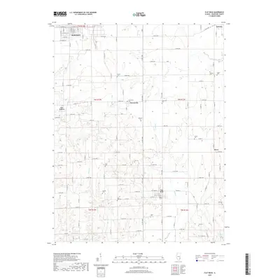
2018 Map of Flat Rock
USGS Topo · Published 2018About this map
Robinson anchors the northwest corner of this Crawford County landscape, where the town street grid transitions into a dense network of rural roads and homesteads. The terrain is defined by a series of south-flowing waterways, including Honey Creek, Lamotte Creek, and Sugar Creek, which carve through the agricultural blocks of the township system. This area is notable for its high density of family and community burial grounds, such as Good Hope Cemetery and Cecedar Cemetery, which provide a clear map of 19th and 20th-century settlement patterns.
Find a feature on this map
97 named features on this map. Tap any name to fly to it.
Don’t see what you’re looking for? This feature index may not catch every label — zoom into the map to look around manually.
Map Details
Editions of this 2018 Flat Rock Map
This is the sole edition of this map. No revisions or reprints were ever made.
Other maps of this area

1910 · Hardinville
USGS Topo · 1:62,500

1917 · Birds
USGS Topo · 1:62,500

1942 · Birds
USGS Topo · 1:62,500

1943 · Merom
USGS Topo · 1:24,000

1953 · Indianapolis
USGS Topo · 1:250,000

1956 · Indianapolis
USGS Topo · 1:250,000

1956 · Annapolis
USGS Topo · 1:62,500

1956 · Vincennes
USGS Topo · 1:250,000

1957 · Indianapolis
USGS Topo · 1:250,000

1957 · Vincennes
USGS Topo · 1:250,000