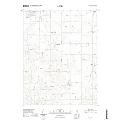
2021 Map of Flat Rock
USGS Topo · Published 2021About this map
The village of Flat Rock serves as a central hub in this part of Crawford County, where the agricultural landscape is drained by Brushy Cr and Sugar Cr. The map reveals a high concentration of small family and community burial grounds, such as Tohill Cem, Cecedar Cem, and Good Hope Cem, which dot the rural sections between established settlements. These sites offer significant value for genealogical research, anchoring family names to specific sections of the township grid. To the north, the southern edge of Robinson and the smaller hamlets of Duncanville and New Hebron illustrate the traditional crossroads settlement pattern of the Illinois prairie. In the southeastern corner, the presence of Campbell Lake and the nearby Dickinson Cem highlight the subtle transition from upland farms to the watercourses that eventually feed toward the Wabash River valley.
Find a feature on this map
83 named features on this map. Tap any name to fly to it.
Don’t see what you’re looking for? This feature index may not catch every label — zoom into the map to look around manually.
Map Details
Editions of this 2021 Flat Rock Map
This is the sole edition of this map. No revisions or reprints were ever made.
Other maps of this area

1910 · Hardinville
USGS Topo · 1:62,500

1917 · Birds
USGS Topo · 1:62,500

1942 · Birds
USGS Topo · 1:62,500

1943 · Merom
USGS Topo · 1:24,000

1953 · Indianapolis
USGS Topo · 1:250,000

1956 · Indianapolis
USGS Topo · 1:250,000

1956 · Annapolis
USGS Topo · 1:62,500

1956 · Vincennes
USGS Topo · 1:250,000

1957 · Indianapolis
USGS Topo · 1:250,000

1957 · Vincennes
USGS Topo · 1:250,000