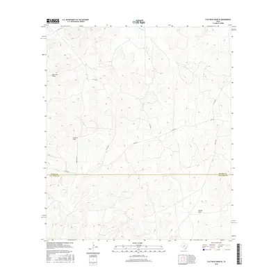
2016 Map of Flat Rock Draw SE
USGS Topo · Published 2016About this map
Flat Rock Draw cuts across this section of the Edwards Plateau, where the boundary between Sutton and Val Verde counties marks the transition from the ranching lands of the north to the canyon-cut terrain of the south. This 2016 survey highlights a landscape dominated by seasonal watercourses and private access, with Juno Hwy serving as the primary transit artery through the region. The topography is defined by significant drainage features like Buckley Draw and the prominent Ogels Road Canyon in the northwest. Local infrastructure is largely restricted to ranching operations, indicated by named routes such as Green Ranch Rd and a network of private roads including Pvt Rd 4434 and Pvt Rd 4426. The map provides a clear view of land use and watershed patterns in a part of Texas where water movement dictates both the geography and the placement of human improvements.
Find a feature on this map
12 named features on this map. Tap any name to fly to it.
Don’t see what you’re looking for? This feature index may not catch every label — zoom into the map to look around manually.
Map Details
Editions of this 2016 Flat Rock Draw SE Map
This is the sole edition of this map. No revisions or reprints were ever made.
Other maps of this area

1954 · Sonora
USGS Topo · 1:250,000

1958 · Sonora
USGS Topo · 1:250,000

1967 · Dunbar Draw SW
USGS Topo · 1:24,000

1967 · Flat Rock Draw SE
USGS Topo · 1:24,000

1967 · Dunbar Draw NW
USGS Topo · 1:24,000

1967 · Flat Rock Draw SW
USGS Topo · 1:24,000

1967 · Shafter Draw
USGS Topo · 1:24,000

1967 · Hudspeth Draw
USGS Topo · 1:24,000

1973 · Turney Draw NW
USGS Topo · 1:24,000

1973 · White Draw NW
USGS Topo · 1:24,000