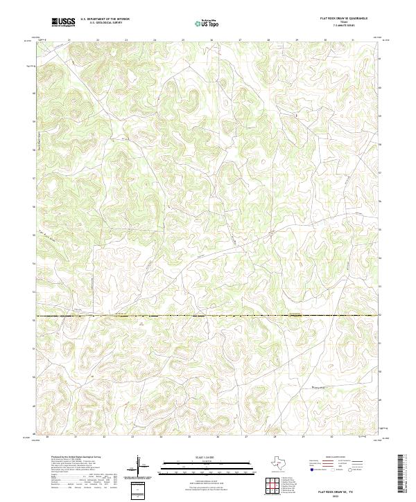
2022 Map of Flat Rock Draw SE
USGS Topo · Published 2022About this map
The boundary between Sutton Co and Val Verde Co bisects this remote portion of the Edwards Plateau. The landscape is defined by the winding erosional patterns of Flat Rock Draw and Buckley Draw, which carve deep incisions through the limestone terrain. To the northwest, Ogels Road Canyon provides further evidence of the region's complex drainage network. Human presence is sparse, represented primarily by the Juno Hwy and a network of private roads including Green Ranch Rd. This map illustrates a working ranchland environment where access is limited and the natural topography dictated the placement of transportation routes across the high divides and through the dry watercourses.
Find a feature on this map
10 named features on this map. Tap any name to fly to it.
Don’t see what you’re looking for? This feature index may not catch every label — zoom into the map to look around manually.
Map Details
Editions of this 2022 Flat Rock Draw SE Map
This is the sole edition of this map. No revisions or reprints were ever made.
Other maps of this area

1954 · Sonora
USGS Topo · 1:250,000

1958 · Sonora
USGS Topo · 1:250,000

1967 · Dunbar Draw SW
USGS Topo · 1:24,000

1967 · Flat Rock Draw SE
USGS Topo · 1:24,000

1967 · Dunbar Draw NW
USGS Topo · 1:24,000

1967 · Flat Rock Draw SW
USGS Topo · 1:24,000

1967 · Shafter Draw
USGS Topo · 1:24,000

1967 · Hudspeth Draw
USGS Topo · 1:24,000

1973 · Turney Draw NW
USGS Topo · 1:24,000

1973 · White Draw NW
USGS Topo · 1:24,000