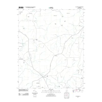
2011 Map of Flat Rock
USGS Topo · Published 2011About this map
Flat Rock and the surrounding Jackson County highlands are defined by a complex drainage network and notable topographic shifts as the landscape descends toward the valley. The area around Overlook serves as a central point for the local road system, while the namesake Flat Rock settlement sits near the southern edge, where the Flat Rock Bridge crosses Hogue Creek. This modern survey records the persistent rural character of the region, anchored by historical burial grounds such as Ridley Cemetery, Maxwell Cemetery, and Newby Cemetery that reflect generations of local families.
Find a feature on this map
113 named features on this map. Tap any name to fly to it.
Don’t see what you’re looking for? This feature index may not catch every label — zoom into the map to look around manually.
Map Details
Editions of this 2011 Flat Rock Map
This is the sole edition of this map. No revisions or reprints were ever made.
Other maps of this area

1886 · Stevenson
USGS Topo · 1:125,000

1892 · Stevenson
USGS Topo · 1:125,000

1895 · Stevenson
USGS Topo · 1:125,000

1936 · Trenton
USGS Topo · 1:24,000

1936 · Ider
USGS Topo · 1:24,000

1936 · Shellmound
USGS Topo · 1:24,000

1936 · Bridgeport
USGS Topo · 1:24,000

1936 · Flat Rock
USGS Topo · 1:24,000

1936 · Sulphur Springs
USGS Topo · 1:24,000

1936 · Stevenson
USGS Topo · 1:24,000