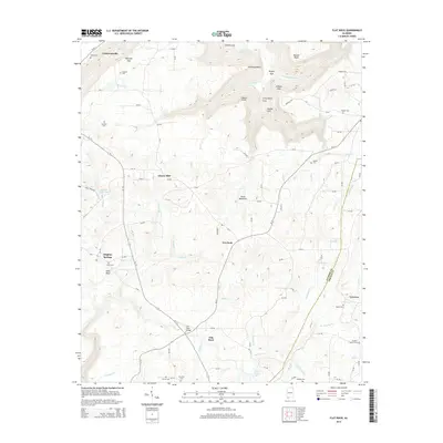
2014 Map of Flat Rock
USGS Topo · Published 2014About this map
Sand Mountain dominates this portion of Northeast Alabama, where the plateau is deeply incised by the drainage systems of Griffin Gulf, Bryant Gulf, and Newby Gulf. This topography creates a dramatic landscape of points and gaps, including Hollaway Point, O'Neal Point, and Maxwell Gap. The settlement pattern follows the high ground and the gaps between these gulfs, with Flat Rock and Overlook serving as central points on the plateau.
Find a feature on this map
112 named features on this map. Tap any name to fly to it.
Don’t see what you’re looking for? This feature index may not catch every label — zoom into the map to look around manually.
Map Details
Editions of this 2014 Flat Rock Map
This is the sole edition of this map. No revisions or reprints were ever made.
Other maps of this area

1886 · Stevenson
USGS Topo · 1:125,000

1892 · Stevenson
USGS Topo · 1:125,000

1895 · Stevenson
USGS Topo · 1:125,000

1936 · Trenton
USGS Topo · 1:24,000

1936 · Ider
USGS Topo · 1:24,000

1936 · Shellmound
USGS Topo · 1:24,000

1936 · Bridgeport
USGS Topo · 1:24,000

1936 · Flat Rock
USGS Topo · 1:24,000

1936 · Sulphur Springs
USGS Topo · 1:24,000

1936 · Stevenson
USGS Topo · 1:24,000