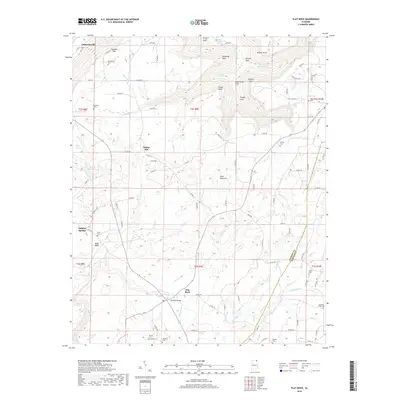
2018 Map of Flat Rock
USGS Topo · Published 2018About this map
Sand Mountain dominates this portion of the Cumberland Plateau, where the tableland is deeply incised by steep gulfs and coves. The landscape is defined by its verticality, featuring dramatic overlooks such as Hollaway Point, O'Neal Point, and Kash Bluff. Numerous watercourses like Long Island Cr and Hogue Cr drain the plateau, often dropping over the rim at spots like High Falls and Little Falls.
Find a feature on this map
113 named features on this map. Tap any name to fly to it.
Don’t see what you’re looking for? This feature index may not catch every label — zoom into the map to look around manually.
Map Details
Editions of this 2018 Flat Rock Map
This is the sole edition of this map. No revisions or reprints were ever made.
Other maps of this area

1886 · Stevenson
USGS Topo · 1:125,000

1892 · Stevenson
USGS Topo · 1:125,000

1895 · Stevenson
USGS Topo · 1:125,000

1936 · Trenton
USGS Topo · 1:24,000

1936 · Ider
USGS Topo · 1:24,000

1936 · Shellmound
USGS Topo · 1:24,000

1936 · Bridgeport
USGS Topo · 1:24,000

1936 · Flat Rock
USGS Topo · 1:24,000

1936 · Sulphur Springs
USGS Topo · 1:24,000

1936 · Stevenson
USGS Topo · 1:24,000