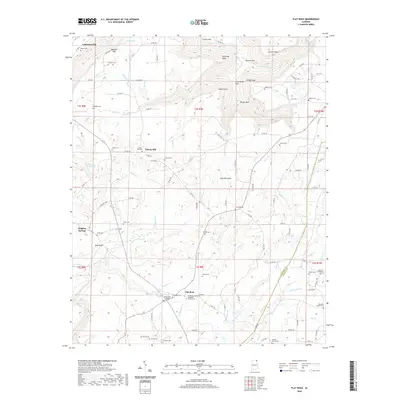
2020 Map of Flat Rock
USGS Topo · Published 2020About this map
Sand Mountain dominates this portion of the Cumberland Plateau, where the tableland is deeply etched by rugged drainage systems. The plateau surface is dotted with numerous small family and community burial grounds, including the Ridley Cem, Posey Cem, and the Flat Rock United Methodist Church Cem. The settlement at Flat Rock serves as a central point for the surrounding rural area, situated near the headwaters of McKinney Br and Hogue Cr. To the north and east, the terrain breaks sharply into dramatic gulfs and coves. Griffin Gulf and Bryant Gulf cut deep into the mountain, while Long Island Cove indicates the dramatic relief that characterizes this corner of the state. These geological features, along with crossings like the Flat Rock Bridge, illustrate the historical challenge of navigation and settlement across this high-relief landscape.
Find a feature on this map
127 named features on this map. Tap any name to fly to it.
Don’t see what you’re looking for? This feature index may not catch every label — zoom into the map to look around manually.
Map Details
Editions of this 2020 Flat Rock Map
This is the sole edition of this map. No revisions or reprints were ever made.
Other maps of this area

1886 · Stevenson
USGS Topo · 1:125,000

1892 · Stevenson
USGS Topo · 1:125,000

1895 · Stevenson
USGS Topo · 1:125,000

1936 · Trenton
USGS Topo · 1:24,000

1936 · Ider
USGS Topo · 1:24,000

1936 · Shellmound
USGS Topo · 1:24,000

1936 · Bridgeport
USGS Topo · 1:24,000

1936 · Flat Rock
USGS Topo · 1:24,000

1936 · Sulphur Springs
USGS Topo · 1:24,000

1936 · Stevenson
USGS Topo · 1:24,000