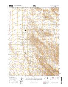
2017 Map of Flat Top Mountain SE
USGS Topo · Published 2017About this map
Bowden Hills dominate the southeastern landscape of this high-desert portion of Malheur County, where the elevation steadily climbs toward the south. The terrain is defined by distinct topographical markers including the Black Hills in the north and the Red Hills to the northeast. Transportation through this arid region relies on established corridors like the Old Ion Hwy and Bowden Ranch Rd, reflecting a landscape managed for large-scale ranching and transit rather than dense settlement. The presence of The Basin at the foot of the hills suggests a natural drainage point in an otherwise arid expanse, typical of the Great Basin's character. Public Land Survey System grids for t34s r39e, t34s r40e, t35s r39e, and t35s r40e provide the structural framework for land ownership and grazing rights in this corner of southeastern Oregon.
Find a feature on this map
11 named features on this map. Tap any name to fly to it.
Don’t see what you’re looking for? This feature index may not catch every label — zoom into the map to look around manually.
Map Details
Editions of this 2017 Flat Top Mountain SE Map
This is the sole edition of this map. No revisions or reprints were ever made.
Other maps of this area

1955 · Jordan Valley
USGS Topo · 1:250,000

1957 · Jordan Valley
USGS Topo · 1:250,000

1958 · Jordan Valley
USGS Topo · 1:250,000

1979 · Bowden Ranch
USGS Topo · 1:24,000

1979 · Anderson Reservoir
USGS Topo · 1:24,000

1979 · Flat Top Mtn SE
USGS Topo · 1:24,000
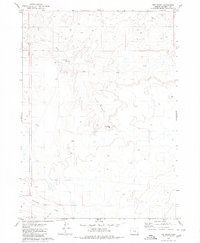
1979 · The Basin
USGS Topo · 1:24,000
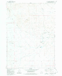
1980 · Flat Top Mtn
USGS Topo · 1:24,000

1980 · Rome State Airport
USGS Topo · 1:24,000
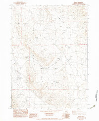
1982 · Basque
USGS Topo · 1:24,000