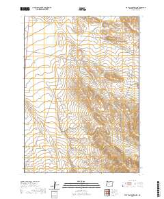
2020 Map of Flat Top Mountain SE
USGS Topo · Published 2020About this map
Black Hills and the Red Hills rise above the high desert floor in this southeastern portion of Malheur County, Oregon. The landscape is defined by its remote volcanic topography, centered around a significant depression known as The Basin. This area remains largely undeveloped, characterized by wide-ranging section lines and limited infrastructure. The primary corridors through this arid terrain are the Old Ion Hwy, which cuts diagonally across the western sections, and Bowden Ranch Rd, providing access to isolated ranching operations. The mapping of these land boundaries within townships like t34s r40e and t35s r40e reflects the enduring importance of the Public Land Survey System in managing the vast, open spaces of the Oregon desert.
Find a feature on this map
9 named features on this map. Tap any name to fly to it.
Don’t see what you’re looking for? This feature index may not catch every label — zoom into the map to look around manually.
Map Details
Editions of this 2020 Flat Top Mountain SE Map
This is the sole edition of this map. No revisions or reprints were ever made.
Other maps of this area

1955 · Jordan Valley
USGS Topo · 1:250,000

1957 · Jordan Valley
USGS Topo · 1:250,000

1958 · Jordan Valley
USGS Topo · 1:250,000

1979 · Bowden Ranch
USGS Topo · 1:24,000

1979 · Anderson Reservoir
USGS Topo · 1:24,000

1979 · Flat Top Mtn SE
USGS Topo · 1:24,000
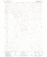
1979 · The Basin
USGS Topo · 1:24,000
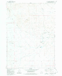
1980 · Flat Top Mtn
USGS Topo · 1:24,000

1980 · Rome State Airport
USGS Topo · 1:24,000
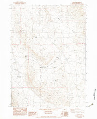
1982 · Basque
USGS Topo · 1:24,000