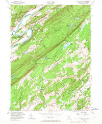
1954 Map of Flatbrookville
USGS Topo · Published 1967About this map
Wallpack Bend dominates the northwestern corner of this area, where the Delaware River makes a sharp, dramatic turn between New Jersey and Pennsylvania. This mid-century landscape is defined by the sharp ridges of Kittatinny Mountain, which separates the fertile valleys of the Flat Brook and Paulins Kill. The map captures a high density of summer recreation at the time, featuring numerous camps such as Camp No-Be-Bo-Sco and Camp Mohican tucked into the wooded highlands.
Find a feature on this map
63 named features on this map. Tap any name to fly to it.
Don’t see what you’re looking for? This feature index may not catch every label — zoom into the map to look around manually.
Map Details
Editions of this 1954 Flatbrookville Map
4 editions found
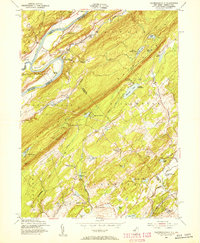
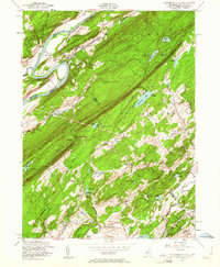
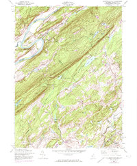
Other maps of this area

1888 · Hackettstown
USGS Topo · 1:62,500

1891 · Wallpack
USGS Topo · 1:62,500

1891 · Delaware Water Gap
USGS Topo · 1:62,500

1893 · Delaware Water Gap
USGS Topo · 1:62,500

1893 · Wallpack
USGS Topo · 1:62,500

1894 · Hackettstown
USGS Topo · 1:62,500

1898 · Hackettstown
USGS Topo · 1:62,500

1900 · Raritan
USGS Topo · 1:125,000

1905 · Raritan
USGS Topo · 1:125,000

1905 · Hackettstown
USGS Topo · 1:62,500
Featured Places
- Blairstown, NJ
- Stillwater Township, NJ
- Fredon Township, NJ
- Hardwick Township, NJ
- Flatbrookville, Walpack Township