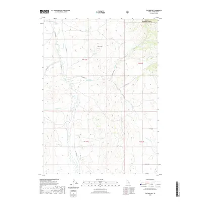
2020 Map of Flatiron Hill
USGS Topo · Published 2020About this map
Flatiron Hill stands as a prominent elevation in this corner of Power County, where the eastern slopes of the Arbon Valley meet the high country of the Caribou National Forest. The landscape is defined by a series of drainages and springs that supported ranching and irrigation, such as the Pevo Ditch and Woods Ditch. These man-made features diverted water from perennial sources like Bannock Cr to the thirsty valley floor.
Find a feature on this map
26 named features on this map. Tap any name to fly to it.
Don’t see what you’re looking for? This feature index may not catch every label — zoom into the map to look around manually.
Map Details
Editions of this 2020 Flatiron Hill Map
This is the sole edition of this map. No revisions or reprints were ever made.
Other maps of this area

1934 · Michaud
USGS Topo · 1:62,500

1937 · Pocatello
USGS Topo · 1:48,000

1937 · Michaud
USGS Topo · 1:62,500

1938 · Pauline
USGS Topo · 1:48,000

1944 · Pocatello
USGS Topo · 1:62,500

1944 · Arbon
USGS Topo · 1:62,500

1954 · Pocatello
USGS Topo · 1:250,000

1958 · Pocatello
USGS Topo · 1:250,000

1968 · Clifton Creek
USGS Topo · 1:24,000

1968 · Bradley Mtn
USGS Topo · 1:24,000