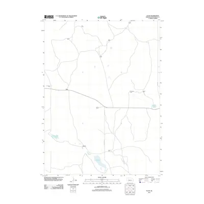
2011 Map of Flats
USGS Topo · Published 2011About this map
Flats and its surrounding ranchlands represent the quintessential Sandhills cattle country of western Nebraska. This high-plains landscape is defined by its widely dispersed homesteads and namesake water features, such as Diamond Bar Lake and Schick Lake. The dominance of named family properties, including Diamond Bar Ranch, McNutt Ranch, and Schnick Ranch, highlights the generational legacy of the region's agricultural industry. State Highway 92 cuts a solitary path through the terrain, connecting these remote operations. Local history and genealogy are anchored in these specific ranch names like Crouse Ranch and Den Ranch, which denote the primary settlements and landmarks in this part of McPherson County. Transportation routes like Diamond Bar Rd and Soddy Rd provide the essential infrastructure linking the isolated valleys and hillsides.
Find a feature on this map
17 named features on this map. Tap any name to fly to it.
Don’t see what you’re looking for? This feature index may not catch every label — zoom into the map to look around manually.
Map Details
Editions of this 2011 Flats Map
This is the sole edition of this map. No revisions or reprints were ever made.
Other maps of this area

1898 · Paxton
USGS Topo · 1:125,000

1901 · Paxton
USGS Topo · 1:125,000

1949 · Flats
USGS Topo · 1:62,500

1949 · Wright Valley
USGS Topo · 1:62,500

1950 · Flats
USGS Topo · 1:62,500

1951 · Wright Valley
USGS Topo · 1:62,500

1954 · North Platte
USGS Topo · 1:250,000

1956 · North Platte
USGS Topo · 1:250,000

1957 · North Platte
USGS Topo · 1:250,000

1967 · North Platte
USGS Topo · 1:250,000