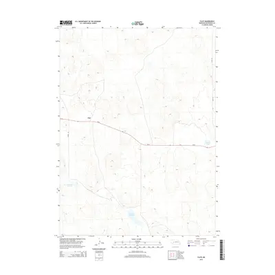
2014 Map of Flats
USGS Topo · Published 2014About this map
Flats serves as the central focal point of this McPherson County landscape, situated at a junction where the open ranch land meets the scattered basins of the Nebraska Sandhills. The terrain is defined by a network of undulating contours and natural depressions that have formed isolated water bodies, most notably the large Diamond Bar Lake to the south and the smaller Little Diamond Bar Lake to the west. Transportation through this sparsely populated region relies on Ne-92, which cuts across the map from northwest to east. Local ranching access is provided by unpaved routes like Storer Rd and Soddy Rd, illustrating the remote and specialized nature of high-plains settlement. Near the eastern edge of the quadrangle, Schick Lake sits alongside the highway, marking another of the vital water sources that define the local geography in this part of the state.
Find a feature on this map
7 named features on this map. Tap any name to fly to it.
Don’t see what you’re looking for? This feature index may not catch every label — zoom into the map to look around manually.
Map Details
Editions of this 2014 Flats Map
This is the sole edition of this map. No revisions or reprints were ever made.
Other maps of this area

1898 · Paxton
USGS Topo · 1:125,000

1901 · Paxton
USGS Topo · 1:125,000

1949 · Flats
USGS Topo · 1:62,500

1949 · Wright Valley
USGS Topo · 1:62,500

1950 · Flats
USGS Topo · 1:62,500

1951 · Wright Valley
USGS Topo · 1:62,500

1954 · North Platte
USGS Topo · 1:250,000

1956 · North Platte
USGS Topo · 1:250,000

1957 · North Platte
USGS Topo · 1:250,000

1967 · North Platte
USGS Topo · 1:250,000