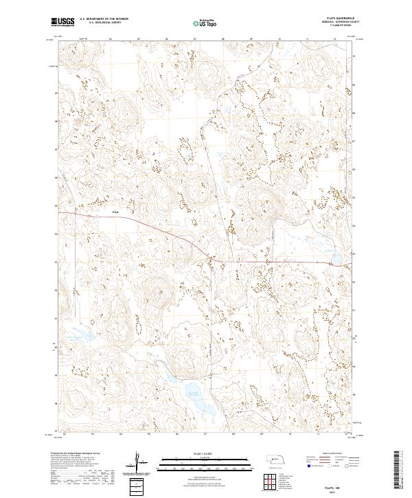
2021 Map of Flats
USGS Topo · Published 2021About this map
Flats represents a secluded node of human presence in the heart of the Sandhills region within McPherson County. This 2021 update documents the sparse road network that connects isolated ranching interests, where named routes like Pueppka Dr and Storer Rd cut through the distinctive undulating topography. The landscape is defined by its hydrography, specifically the collection of natural basins and lakes that anchor local property divisions. Water bodies such as Diamond Bar Lake, Little Diamond Bar Lake, and Schick Lake serve as the primary landmarks in an area where the grid of the Public Land Survey System—including t19n r35w and t18n r34w—provides the only formal structure across the vast reaches of the prairie. The alignment of Diamond Bar Rd and N Daly Rd illustrates the long-distance connectivity required for life in one of Nebraska's most sparsely populated counties.
Find a feature on this map
15 named features on this map. Tap any name to fly to it.
Don’t see what you’re looking for? This feature index may not catch every label — zoom into the map to look around manually.
Map Details
Editions of this 2021 Flats Map
This is the sole edition of this map. No revisions or reprints were ever made.
Other maps of this area

1898 · Paxton
USGS Topo · 1:125,000

1901 · Paxton
USGS Topo · 1:125,000

1949 · Flats
USGS Topo · 1:62,500

1949 · Wright Valley
USGS Topo · 1:62,500

1950 · Flats
USGS Topo · 1:62,500

1951 · Wright Valley
USGS Topo · 1:62,500

1954 · North Platte
USGS Topo · 1:250,000

1956 · North Platte
USGS Topo · 1:250,000

1957 · North Platte
USGS Topo · 1:250,000

1967 · North Platte
USGS Topo · 1:250,000