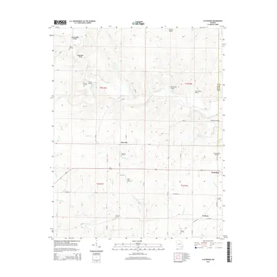
2015 Map of Flatwoods
USGS Topo · Published 2015About this map
Greenville Ford and Paterson Ford mark established crossing points on the Little Black River in this rural section of Missouri near the Ripley and Butler County line. The landscape is defined by a dense network of hollows, including Murphy Hollow, Brushy Hollow, and Last Chance Hollow, which drain into several named creeks and branches. For genealogists and local historians, the map provides precise locations for several community burial grounds, such as McCluskey Cemetery, Spring Hill Cemetery, and Arnold Cemetery. Small settlements like Flatwoods, Fairdealing, and Gamburg anchor the local road system, while natural water sources like King Bee Spring and Bonanza Spring highlight the hydrologic character of the Ozark foothills. The orientation of roads like Military Rd suggests long-standing transit corridors through these creek-fed valleys.
Find a feature on this map
61 named features on this map. Tap any name to fly to it.
Don’t see what you’re looking for? This feature index may not catch every label — zoom into the map to look around manually.
Map Details
Editions of this 2015 Flatwoods Map
This is the sole edition of this map. No revisions or reprints were ever made.
Other maps of this area

1934 · Williamsville
USGS Topo · 1:48,000

1935 · Acorn
USGS Topo · 1:62,500

1939 · Doniphan
USGS Topo · 1:62,500

1940 · Williamsville
USGS Topo · 1:62,500

1940 · Naylor
USGS Topo · 1:62,500

1944 · Naylor
USGS Topo · 1:62,500

1944 · Grandin
USGS Topo · 1:62,500

1945 · Doniphan
USGS Topo · 1:62,500

1946 · Grandin
USGS Topo · 1:62,500

1957 · Poplar Bluff
USGS Topo · 1:250,000