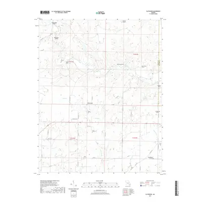
2017 Map of Flatwoods
USGS Topo · Published 2017About this map
Flatwoods and the surrounding Ozark foothills of Ripley County are defined by a complex network of springs and river crossings. The winding course of the Little Black River serves as a primary geographic anchor, punctuated by historical crossing points such as Greenville Ford and Paterson Ford. These fords were essential for movement through the hollows before modern bridging, connecting small communities and family farmsteads.
Find a feature on this map
62 named features on this map. Tap any name to fly to it.
Don’t see what you’re looking for? This feature index may not catch every label — zoom into the map to look around manually.
Map Details
Editions of this 2017 Flatwoods Map
This is the sole edition of this map. No revisions or reprints were ever made.
Other maps of this area

1934 · Williamsville
USGS Topo · 1:48,000

1935 · Acorn
USGS Topo · 1:62,500

1939 · Doniphan
USGS Topo · 1:62,500

1940 · Williamsville
USGS Topo · 1:62,500

1940 · Naylor
USGS Topo · 1:62,500

1944 · Naylor
USGS Topo · 1:62,500

1944 · Grandin
USGS Topo · 1:62,500

1945 · Doniphan
USGS Topo · 1:62,500

1946 · Grandin
USGS Topo · 1:62,500

1957 · Poplar Bluff
USGS Topo · 1:250,000