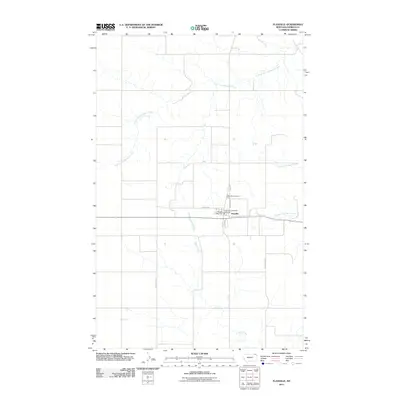
2011 Map of Flaxville
USGS Topo · Published 2011About this map
Flaxville serves as the central hub of this Daniels County landscape, anchored by essential local landmarks including the Flaxville Post Office and the Flaxville Community Fire Dept. The town is situated within a drainage basin defined by the winding paths of South Fork Whitetail Creek to the north and a trio of waterways to the south: Eagle Creek, North Fork Eagle Creek, and Middle Fork Eagle Creek.
Find a feature on this map
16 named features on this map. Tap any name to fly to it.
Don’t see what you’re looking for? This feature index may not catch every label — zoom into the map to look around manually.
Map Details
Editions of this 2011 Flaxville Map
This is the sole edition of this map. No revisions or reprints were ever made.
Other maps of this area

1954 · Wolf Point
USGS Topo · 1:250,000

1958 · Wolf Point
USGS Topo · 1:250,000

1973 · Madoc
USGS Topo · 1:24,000

1973 · Flaxville
USGS Topo · 1:24,000

1973 · Whitetail
USGS Topo · 1:24,000

1973 · Navajo
USGS Topo · 1:24,000

1973 · Line Coulee
USGS Topo · 1:24,000

1973 · Pleasant Prairie NW
USGS Topo · 1:24,000

1973 · Goodale Coulee
USGS Topo · 1:24,000

1973 · Si Merrell Slough
USGS Topo · 1:24,000