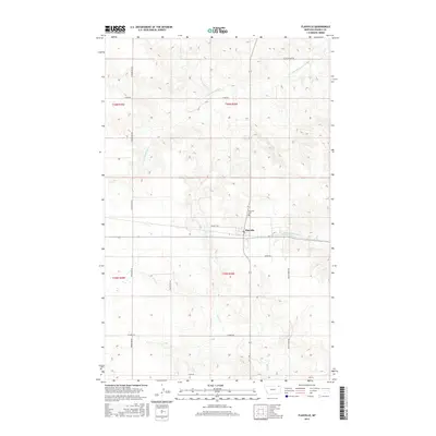
2017 Map of Flaxville
USGS Topo · Published 2017About this map
Flaxville serves as the primary hub of this high plains landscape in Daniels County, situated at a crossroads defined by a grid of rural routes. The town is flanked by essential community landmarks including the Flaxville Cem and is connected to the surrounding countryside by significant local thoroughfares like Puckett Rd and Weber Rd. The terrain is shaped by the drainage patterns of several waterways, most notably the S Fork Whitetail Cr to the north and the Middle Fork Eagle Cr and Eagle Cr to the south. This agricultural region is meticulously partitioned by the Public Land Survey System, as evidenced by the township and range boundaries such as t36n r50e and t35n r50e. The network of names like Mail Route Rd and R-Y Trl reflects the enduring reliance on a established transportation system to link isolated farmsteads and ranches.
Find a feature on this map
20 named features on this map. Tap any name to fly to it.
Don’t see what you’re looking for? This feature index may not catch every label — zoom into the map to look around manually.
Map Details
Editions of this 2017 Flaxville Map
This is the sole edition of this map. No revisions or reprints were ever made.
Other maps of this area

1954 · Wolf Point
USGS Topo · 1:250,000

1958 · Wolf Point
USGS Topo · 1:250,000

1973 · Madoc
USGS Topo · 1:24,000

1973 · Flaxville
USGS Topo · 1:24,000

1973 · Whitetail
USGS Topo · 1:24,000

1973 · Navajo
USGS Topo · 1:24,000

1973 · Line Coulee
USGS Topo · 1:24,000

1973 · Pleasant Prairie NW
USGS Topo · 1:24,000

1973 · Goodale Coulee
USGS Topo · 1:24,000

1973 · Si Merrell Slough
USGS Topo · 1:24,000