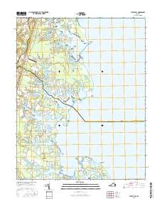
2016 Map of Fleets Bay
USGS Topo · Published 2016About this map
The eastern edges of Kilmarnock and the surrounding coastline of the Northern Neck are revealed in this modern survey of the Chesapeake Bay shoreline. The landscape is defined by its deep indentation, where fingers of land like Antipoison Neck and Fleets Bay Neck reach into the waters of Fleets Bay. Small historical settlements and family-named landings are scattered throughout, including Ditchley, Lynhams, and Foxwells, reflecting a centuries-old pattern of rural bay-side living.
Find a feature on this map
133 named features on this map. Tap any name to fly to it.
Don’t see what you’re looking for? This feature index may not catch every label — zoom into the map to look around manually.
Map Details
Editions of this 2016 Fleets Bay Map
This is the sole edition of this map. No revisions or reprints were ever made.
Other maps of this area
1916 · Kilmarnock
USGS Topo · 1:48,000
1917 · Heathsville
USGS Topo · 1:48,000
1917 · Kilmarnock
USGS Topo · 1:62,500
1917 · Ewell
USGS Topo · 1:62,500
1942 · Kilmarnock
USGS Topo · 1:62,500

1943 · Richmond
USGS Topo · 1:250,000
1944 · Reedville
USGS Topo · 1:31,680
1948 · Deltaville
USGS Topo · 1:24,000
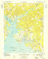
1949 · Irvington
USGS Topo · 1:24,000
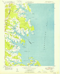
1949 · Fleets Bay
USGS Topo · 1:24,000